Over 25 Years of Surveying in the State Of Texas
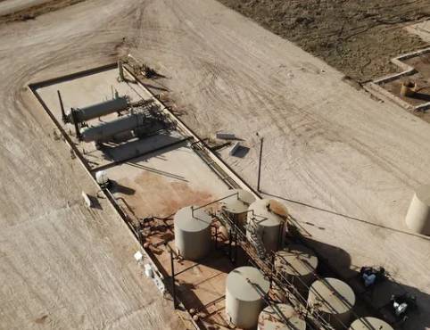
Oil and Gas
We work with several Oil / Gas companies all across Texas, from the Permian Basin to East Texas. We offer prompt and efficient surveying to help get the job done.
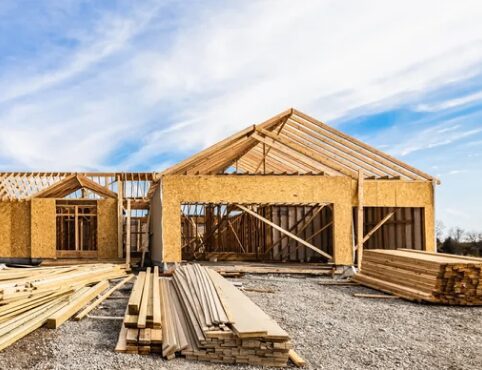
DFW - Home Construction
We work with several home builders in the DFW area to assist in the home development process. Our company can help production stay on schedule with ease.
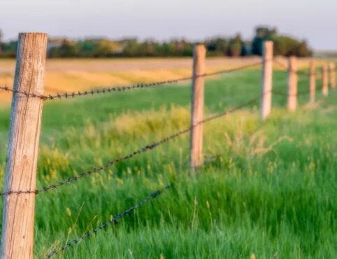
East Texas - Local Surveys
We proudly provide quality surveying services to the Van Zandt county and surrounding areas. Call or e-mail for a quote today.

Fast Turn-around
We pride ourselves in a fast turn-around time to ensure you can meet the demands of your industry.

We're Real People
You can call or e-mail our offices during business hours and talk with an actual employee any day of the week.
Get the Job Done With Bison Creek
Title Surveys
Title survey is a survey of real property to be used by a title insuring agency for purposes of insuring title to the said property. Title surveys are typically required for real estate transitions.
Construction Staking
Also known as Site Layout Surveying. It's the process of interpreting construction plans and marking the location of proposed new structures, such as roads or buildings. Construction staking is performed to ensure a project is built according to the engineering design plans.
ALTA Surveys
An ALTA/ACSM land title survey adheres to a set of national standards adopted by the American Land Title Association. The ALTA Survey generally shows property lines, easements and other details as mandated by the state standard.
Subdivision Platting
Subdivision platting is the process of splitting a tract of land into smaller parcels. This shows documentation and survey data on a map in conformance with local subdivision ordinance and the Subdivision Map Act.
Topographic Surveys
Topographic surveys are used to identify and map the contours of the ground and existing features on the surface of the earth.
Well Staking & Platting
Oil and gas well staking marks the location of a proposed well site in relation to the unit lines or survey lines.
Salt Water Disposal Wells
Both salt water disposal wells and injection wells are used to safely dispose of fracturing flowback liquid and produced liquids from oil and gas production. They are used as secondary recovery techniques and to improve production from existing wells.
Construction As-Built
This is a set of drawings submitted upon completion of a project or a particular job. They reflect all changes made in the specifications and working drawings during the construction process, and show the exact dimensions, geometry, and location of all elements of the work completed
Elevation Certificates
Elevation certificates are used to provide elevation information necessary to ensure compliance with community floodplain management ordinances to determine the proper insurance premium rate or support a request for a Letter of Map Amendment.
Building Forms
During home construction, many counties require construction companies to have a Form Board Survey performed to show the location of the form board and therefore the proposed location and elevations of the concrete foundation of the structure.
Subsurface Utility Location
Be sure to obtain reliable underground information during the development of a project. Subsurface utility information is needed for highway plans, and many other various projects. Safety is enhanced when excavating or grading, as less possibility of damage to a subsurface utility that may result in injury or damage.
GIS Services
We are well versed in GIS solutions to ensure your deliverables meet current industry standards.
Follow Us!
Contact Information
29740 Highway 64
Canton Texas 75103
Monday - Friday: 8:00 AM - 4:00 PM
Saturday & Sunday: Closed
Closed all major holidays
Need a Quote?
Send us an e-mail
"*" indicates required fields