OVER 25 YEARS OF SURVEYING IN THE STATE OF TEXAS
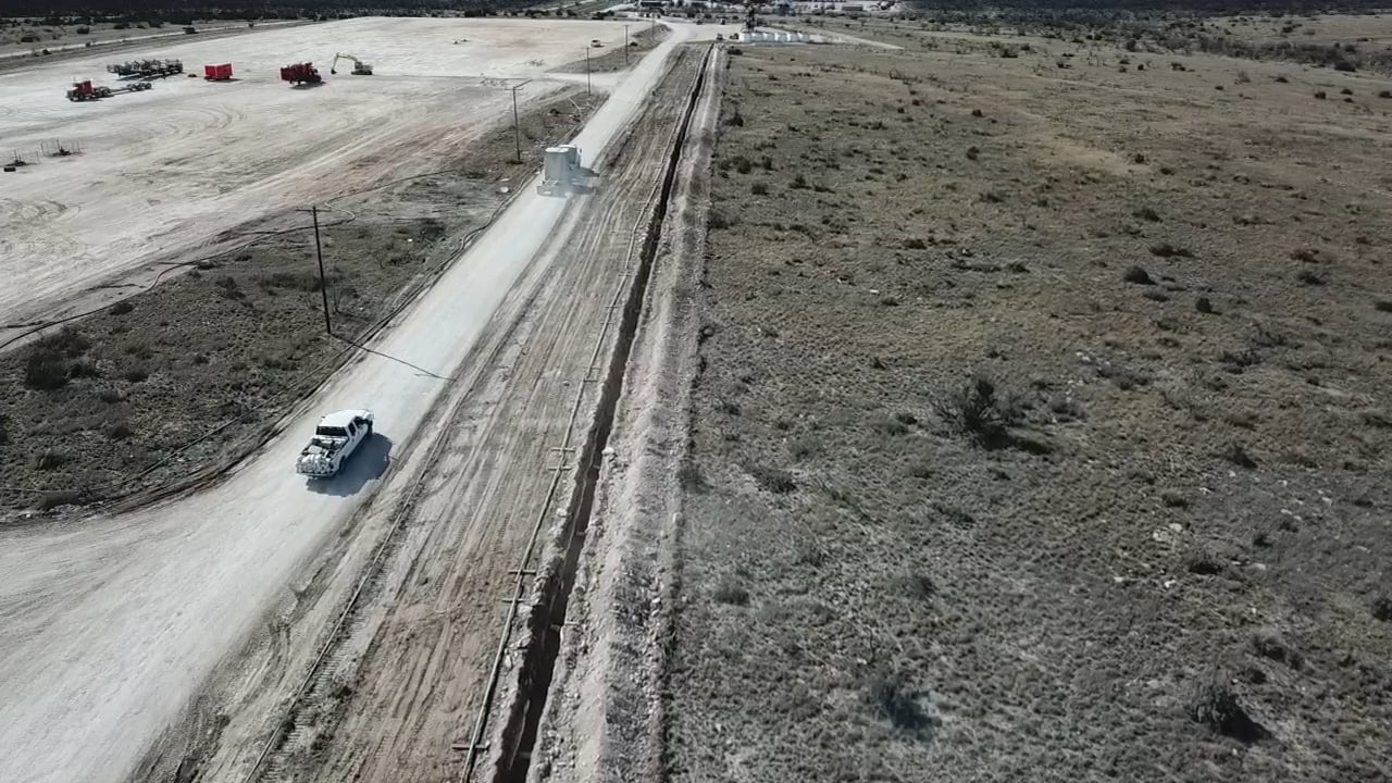
Oil and Gas
East Texas - Local Surveys
DFW - Home Construction

We work with several Oil / Gas companies all across Texas, from the Permian Basin to East Texas. We offer prompt and efficient surveying to help get the job done.
DFW - Home Construction
East Texas - Local Surveys
DFW - Home Construction

We work with several home builders in the DFW area to assist in the home development process. Our company can help production stay on schedule with ease.
East Texas - Local Surveys
East Texas - Local Surveys
East Texas - Local Surveys

We proudly provide quality surveying services to the Van Zandt county and surrounding areas. Call or e-mail for a quote today.
Fast Turn-around
We're REAL people!
East Texas - Local Surveys

We pride ourselves in a fast turn-around time to ensure you can meet the demands of your industry.
We're REAL people!
We're REAL people!
We're REAL people!

You can call or e-mail our offices during business hours and talk with an actual employee any day of the week.